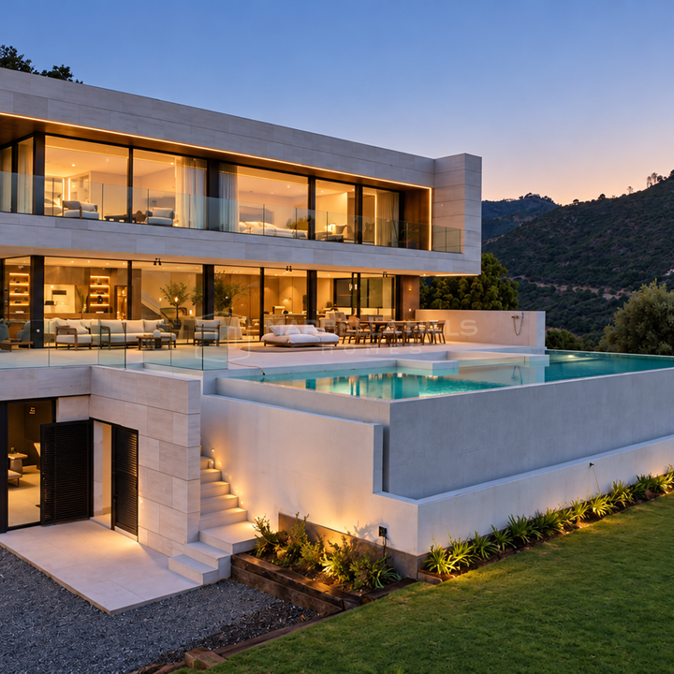
Hiking on the Costa del Sol: the best trails around Marbella
Summary
Behind the beaches of the Costa del Sol rise the mountains of Sierra Blanca, Sierra Bermeja and the Sierra de las Nieves. This guide covers the best hiking trails around Marbella, from easy coastal walks to the summit of La Concha, with tips on when to go and what to take.
Key Takeaways
- La Concha is the classic hike, with views over the coast to Gibraltar and Morocco, but the final ridge is only for experienced walkers.
- The Refugio de Juanar above Ojén is the starting point for many routes in Sierra Blanca.
- Istán, Benahavís and Mijas have trails that start in the village.
- Easy walks include the Senda Litoral and the Artola dunes, the Río Guadalmina channel in Benahavís and the Paseo de los Pinsapos.
- The best season is October to May; in summer, start at dawn and carry plenty of water.
Hiking on the Costa del Sol
Most visitors know the Costa del Sol for its beaches, but behind the coast rise the mountains of Sierra Blanca, Sierra Bermeja and the Sierra de las Nieves, with trails that start a few minutes from the sea. From the hillside homes of Benahavís, Ojén and Istán, some of the best routes begin almost at the front door.
This guide covers the best hiking trails around Marbella, from easy coastal walks to the summit of La Concha, with practical tips on when to go, what to take and what to expect. For other ways to stay active, see our guide to Marbella for fitness lovers.
Hiking trails at a glance
| Trail | Start | Distance | Difficulty |
|---|---|---|---|
| La Concha | Refugio de Juanar (Ojén) or Istán | About 11–13 km | Hard |
| Cruz de Juanar | Refugio de Juanar or Marbella | About 7–14 km | Medium |
| Istán to Charco del Canalón | Istán | About 13 km return | Medium |
| Istán to Marbella | Istán | About 9 km one way | Medium to easy |
| Los Reales and the Paseo de los Pinsapos | Sierra Bermeja, above Estepona | 2–10 km | Easy to medium |
| Pico de Mijas | Mijas Pueblo | About 14.5 km loop | Medium to hard |
| Río Guadalmina irrigation channel | Benahavís | About 4.5 km return | Easy |
| Senda Litoral and the Artola dunes | Cabopino | Flexible | Easy |

Sierra Blanca: La Concha and Juanar
Sierra Blanca is the mountain range directly behind Marbella. Its limestone peaks, pine forests and chestnut groves make it the most popular hiking area on this part of the coast, and the Refugio de Juanar, a mountain lodge above Ojén, is the starting point for many of its routes.
La Concha
La Concha is the peak that defines the skyline of Marbella, and climbing it is the classic hike of the Costa del Sol. The views from the top take in the whole coast, Gibraltar and, on clear days, the mountains of Morocco.
There are two main routes. From the Refugio de Juanar, the PR-A 168 is a loop of about 13 km with around 700 m of climbing, which takes most walkers five hours or more. From the white village of Istán, the PR-A 135 climbs to the summit and back on the same path, about 11 km in total. Both are hard walks. The final ridge is narrow, with steep drops and some sections where you need your hands, so it is not for anyone who suffers from vertigo.

Cruz de Juanar
The Cruz de Juanar is a cross on a rocky summit above the Refugio de Juanar, with views over Marbella and the coast. From the Refugio, a shaded path climbs to the Puerto de las Alanas and then to the cross; the last section is steep. You can combine it with the Mirador del Macho Montés, with views over Marbella, and the Mirador del Corzo, with views over Ojén, along a wide forest track.
For a longer day, you can also start from Marbella, near the A-355 road to Ojén: about 14 km there and back, with more than 1,000 m of climbing.
Ojén and the Tres Picos
Ojén, one of the prettiest white villages near Marbella, has several marked routes into Sierra Blanca, from the Tajo Negro loop of about 12 km to the demanding Tres Picos route of about 20 km, which links the Juanar chestnut grove, the Mirador del Corzo and the Cruz de Juanar. See our guide to Ojén for the village itself.

Istán and the Río Verde
Istán, a small white village above the Río Verde valley, is one of the best bases for hiking near Marbella. Its routes pass orange and avocado groves, old irrigation channels and wide views over the La Concepción reservoir.

Istán to the Charco del Canalón
The PR-A 280 follows the Río Verde from Istán to the Charco del Canalón, a natural pool in the river, about 6.5 km each way. On the way you pass the Herrizas de la Gallega viewpoint over the valley. The river is crossed on a suspension bridge or, when the water is low, on foot, so check conditions after heavy rain.
Istán to Marbella
The PR-A 140 runs from Istán down to Nagüeles in Marbella, about 9 km and mostly downhill, with views over the reservoir and the coast. You will need a lift or a taxi back to Istán.
Benahavís and the Río Guadalmina
Benahavís, the village at the gateway to the mountains above the Golden Triangle, is surrounded by green hills and the gorge of the Río Guadalmina.

The irrigation channel walk
The easiest walk in Benahavís follows an old irrigation channel along the Río Guadalmina, about 4.5 km there and back and almost flat. It ends at a wooden bridge looking into Las Angosturas, the narrow gorge where the river cuts through the rock. The walk starts from the recreation area by the Ermita de la Virgen del Rosario, just before the village.
Las Angosturas itself is a river walk through the gorge, popular in summer for beginners' canyoning; you need to be a confident swimmer, and a wetsuit and helmet are recommended. After the wildfire of September 2026 near the Ermita del Rosario, check with the Benahavís town hall that the paths are open before you go. Our Benahavís guide covers the village and its restaurants.
Sierra Bermeja: Los Reales and the Spanish Fir
Above Estepona, the red rock of Sierra Bermeja is home to one of the rarest forests in Europe: the pinsapo, or Spanish fir, a tree that survives only in a few mountain ranges of southern Spain and northern Morocco.
The road from Estepona climbs through Peñas Blancas to Los Reales, where the short Paseo de los Pinsapos, about 2 km there and back, leads through the fir forest. A longer loop to the summit of Los Reales, at about 1,450 m, takes around four hours, with views that reach Gibraltar and Africa. Parts of the forest were burned in the fire of 2021, but the Paseo remains one of the most beautiful short walks on the coast.

Mijas: Pico de Mijas
From the white village of Mijas Pueblo, a loop of about 14.5 km climbs to the Pico de Mijas, known locally as La Bola, at 1,150 m. The views cover the whole coast from Málaga to Gibraltar, Sierra Nevada inland and, in winter, Morocco. There is no shade and no water on the way, so this is a route for the cooler months.
Coastal Walks: the Senda Litoral and the Artola Dunes
Not every walk needs a mountain. The Senda Litoral, the coastal path that will one day run along the whole Costa del Sol, links many of Marbella's beaches with promenades and wooden boardwalks.
At Cabopino, east of Marbella, the boardwalks cross the Dunas de Artola, a protected natural monument of sand dunes and pine trees, past the old Torre de los Ladrones watchtower. It is flat and easy, perfect for families and an early-morning walk all year. Please stay on the boardwalks, as walking on the dunes is not allowed.

Day Trips for Hikers
Sierra de las Nieves National Park
Declared a national park in 2021, the Sierra de las Nieves lies inland from Marbella, on the road from San Pedro to Ronda. Its highest peak, the Torrecilla, at 1,912 m, is the highest point in western Andalucía. The route from the Cortijo de los Quejigales climbs through forests of Spanish fir, about five hours there and back. In winter, snow is possible on the summit and the access roads can close.

Caminito del Rey
About an hour and a quarter from Marbella by car, the Caminito del Rey at El Chorro is a famous walkway pinned to the walls of a deep gorge. The route is about 8 km, mostly downhill, with a new suspension bridge. Entry must be booked in advance on the official website, and children must be at least eight years old.
Ronda
Ronda, about an hour from Marbella, is a good base for walks in the Serranía de Ronda, and the paths below the Puente Nuevo give the best views of its famous gorge. Our guide to day trips from Marbella has more ideas.

Tips for Hiking on the Costa del Sol
Go between October and May. Spring is the best time of all. In summer, start at dawn, as most mountain routes have little shade and no water.
Carry plenty of water. Take at least two or three litres per person on the longer routes. There are no springs on the summits.
Respect the fire season. From 1 June to 15 October, barbecues and fires are banned in the countryside, and some forest tracks close to cars.
Download the route. Apps such as Wikiloc and Komoot have GPS tracks for all these routes. Download them before you go, as the phone signal often drops in the mountains.
Know the emergency number. In Spain, call 112 for any emergency, including to report smoke.
Check before you go. Trails can close after storms or fires. The websites of the Sierra de las Nieves and the local town halls publish closures.
Living Close to the Trails
For many of our buyers, being able to walk into the mountains from home is one of the great pleasures of living here. Benahavís, Ojén and Istán have the trails on their doorstep, and the hillside areas of Marbella and Benahavís, such as La Zagaleta and El Madroñal, are minutes from Sierra Blanca and the Río Guadalmina.
Hiking on the Costa del Sol: Frequently Asked Questions
What is the best hike near Marbella?
La Concha is the classic hike, with the best views on the coast. For an easier walk, the Cruz de Juanar, the Río Guadalmina in Benahavís or the Artola dunes at Cabopino are all excellent.
When is the best time to hike on the Costa del Sol?
From October to May, and above all in spring. In summer it is too hot for most mountain routes, except very early in the morning.
Do I need a permit to hike?
Not for the routes in this guide. The Caminito del Rey must be booked in advance, and some areas close in the fire season or after storms.
Is La Concha difficult?
Yes. Both routes to the summit are long, and the final ridge is narrow and exposed. It is only for experienced walkers without vertigo.
Are there easy walks for families?
Yes. The Senda Litoral and the Artola dunes, the irrigation channel walk in Benahavís and the Paseo de los Pinsapos in Sierra Bermeja are all easy.
Our View
In our view, the mountains behind the coast are one of the Costa del Sol's best-kept secrets. Within half an hour of the beach you can be on a summit with views of two continents, walking through a forest of Spanish firs or swimming in a mountain river.
Discover Homes Close to the Mountains
If you love the outdoors, we can help you find a home close to the trails, from a village house in Benahavís to a villa with views of La Concha.
You can browse our properties for sale in Benahavís, or contact us to arrange a viewing.
All Properties for sale in Benahavis
Duplex Penthouse with Sea Views in Four Seasons, Los Flamingos, Benahavís
Los Flamingos, Benahavis €997,500This spacious duplex penthouse sits in one of the best blocks of Four Seasons, a sought-after gated community within the…
- View Property
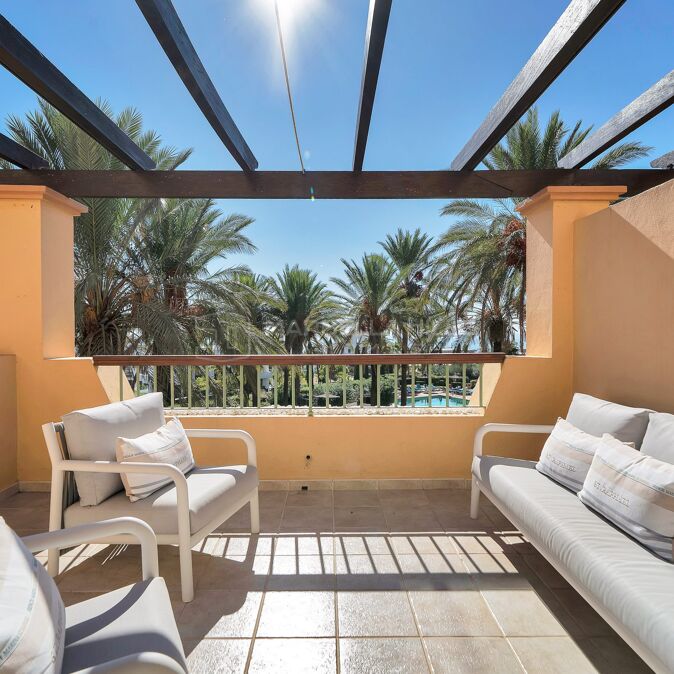
3-Bedroom Apartment with Sea Views in Real de La Quinta, Benahavís
Real de La Quinta, Benahavis €1,545,000Set in the exclusive Olivos development within Real de La Quinta, Benahavís, this stylish, move-in-ready apartment combines high-quality finishes and…
- View Property
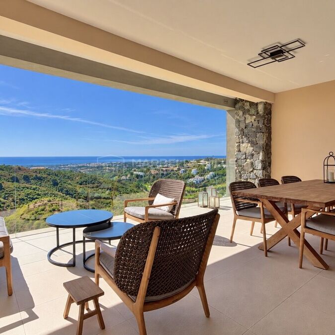
Garden Apartment with Tourist Licence for Sale in La Quinta Hills, Benahavís
La Quinta Hills, Benahavis €660,000This fully renovated corner ground-floor apartment is located in the established residential community of La Quinta Hills, Benahavís, just minutes…
- View Property
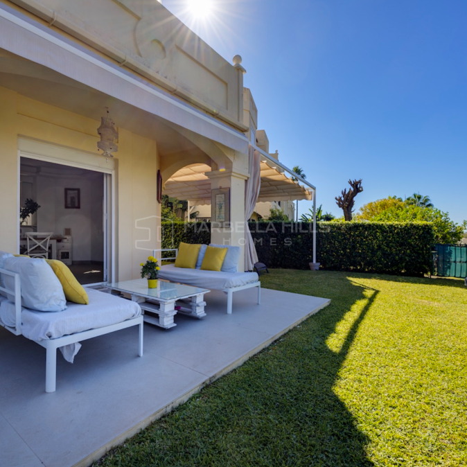
3-Bedroom Duplex Penthouse with Sea Views in Monte Halcones, Benahavís
Monte Halcones, Benahavis €1,495,000Set within El Real de los Halcones, a secure gated community in the sought-after Monte Halcones area of Benahavís, this…
- View Property
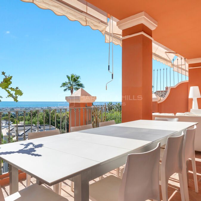
New-Build 3-Bedroom Apartment with Sea Views for Sale in Real de La Quinta
Real de La Quinta, Benahavis €1,490,000Set in the green hills of La Quinta, within one of Benahavís' most sought-after residential communities, this recently completed apartment…
- View Property
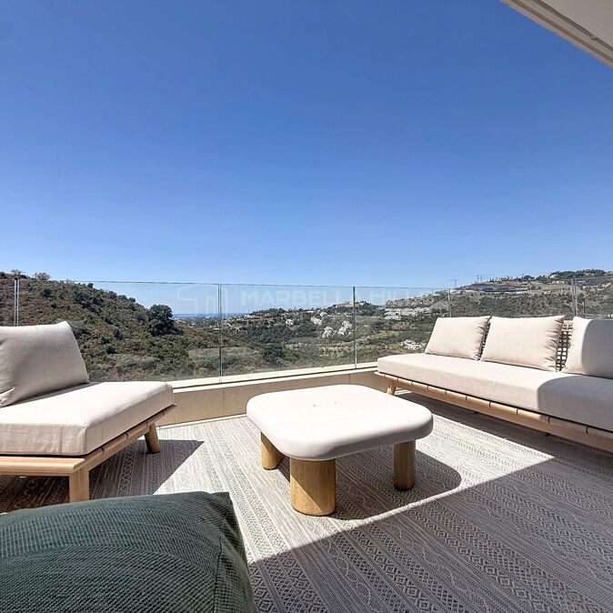
Renovated Corner Penthouse with Golf & Sea Views, La Quinta
Los Arcos (La Quinta), Benahavis €899,000Beautifully renovated three-bedroom corner penthouse in the sought-after gated community of Arcos de La Quinta, Benahavís. The property offers a…
- View Property
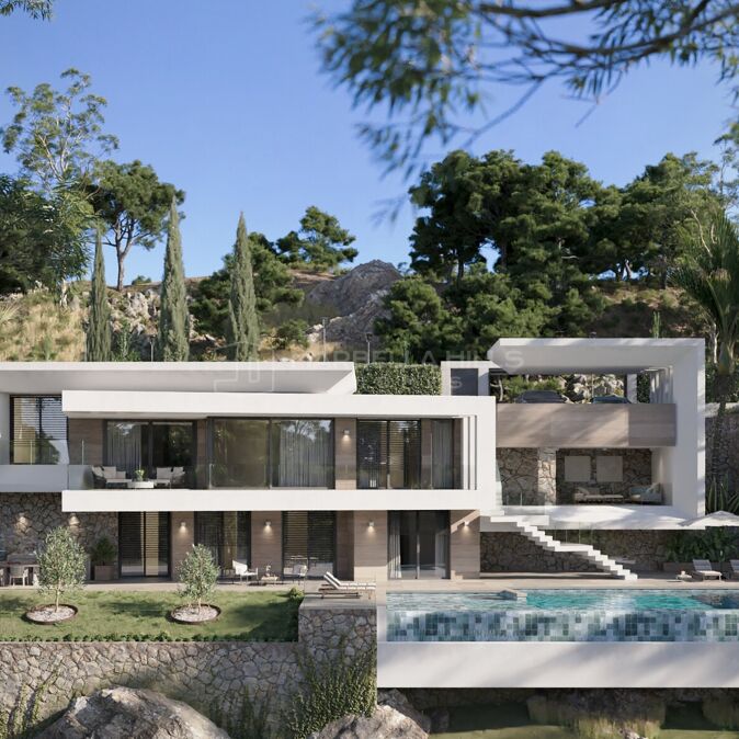
Off-plan contemporary villa with infinity pool and sea views in Monte Mayor, Benahavís
Monte Mayor, Benahavis €3,395,000Villa Evania Hills is an off-plan contemporary villa to be built on a 4,078 m² plot in Monte Mayor, Benahavís,…
- View Property
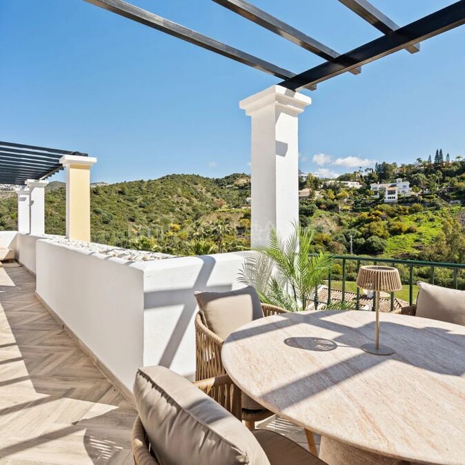
Corner apartment with panoramic sea and golf views in La Quinta Greens, Benahavís
La Quinta, Benahavis €875,000This corner apartment is in La Quinta Greens, a gated boutique community of just 18 residences set in mature gardens…
- View Property
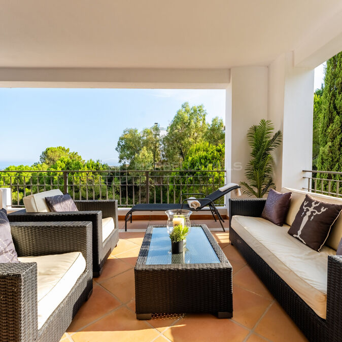
Frontline golf five-bedroom townhouse with private garden in Las Jacarandas, La Quinta
Las Jacarandas, Benahavis €850,000This spacious five-bedroom townhouse is in Las Jacarandas, a small, private community of only around fifteen homes set right on…
- View Property
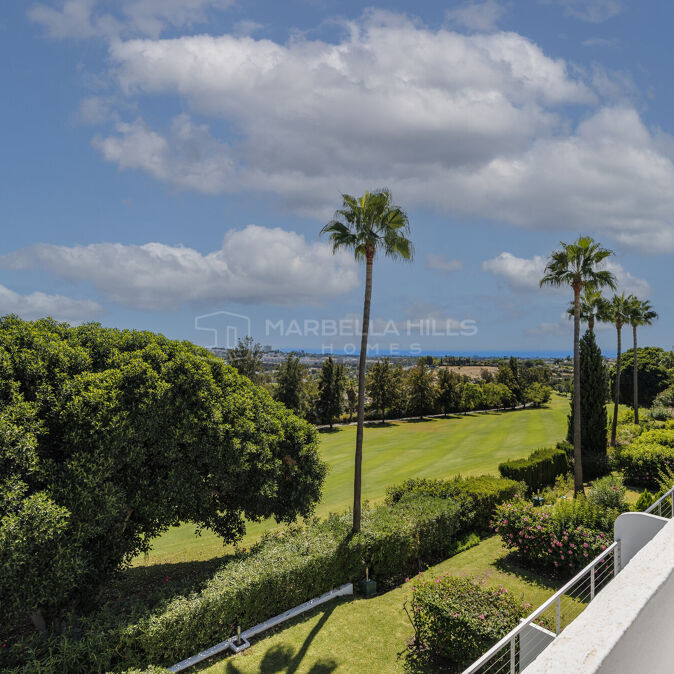
Renovated 4-Bed Apartment with Villa-Size Terraces and Sea Views in La Quinta
La Quinta, Benahavis €1,995,000Set on an elevated corner of a quiet gated community in Lomas de La Quinta, Benahavís, this fully renovated apartment…
- View Property
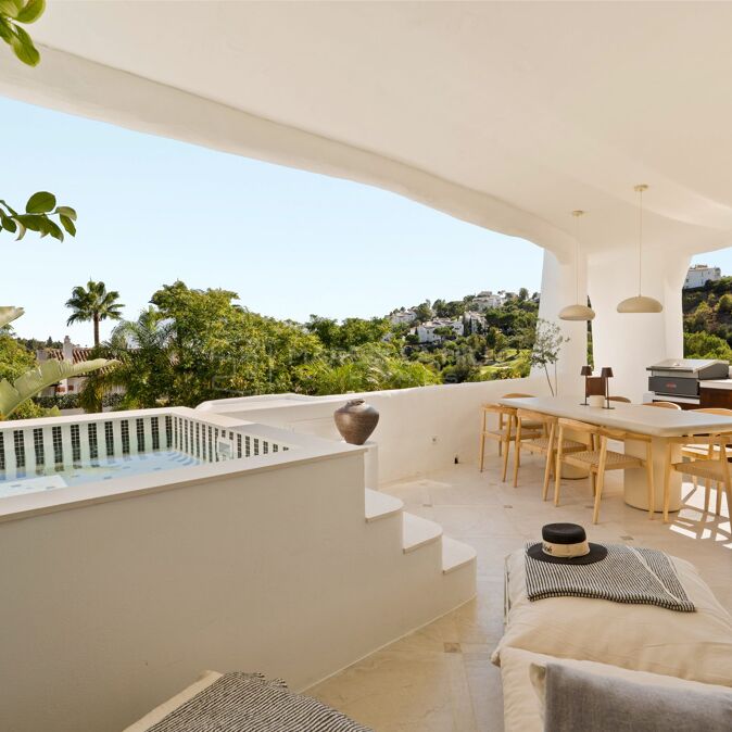
Renovated Andalusian Villa with Sea and La Concha Views in La Quinta
La Quinta, Benahavis €5,995,000On a generous double plot of 1,716 m² in La Quinta, Benahavís, this fully renovated villa pairs classic Andalusian architecture…
- View Property
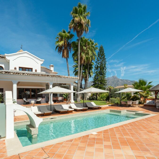
Renovated two-bedroom apartment with sea and golf views in Mirador, La Quinta
La Quinta, Benahavis €565,000This renovated two-bedroom, two-bathroom apartment is in Mirador, a gated community in La Quinta, Benahavís, and enjoys beautiful views over…
- View Property
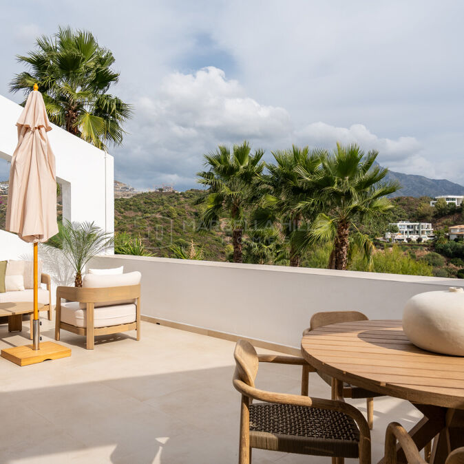
Renovated three-bedroom townhouse with garden in Paraíso Park, El Paraíso
Paraiso Park, Benahavis €1,295,000This fully renovated three-bedroom townhouse is set in Paraíso Park, a small gated community of just 32 homes in El…
- View Property
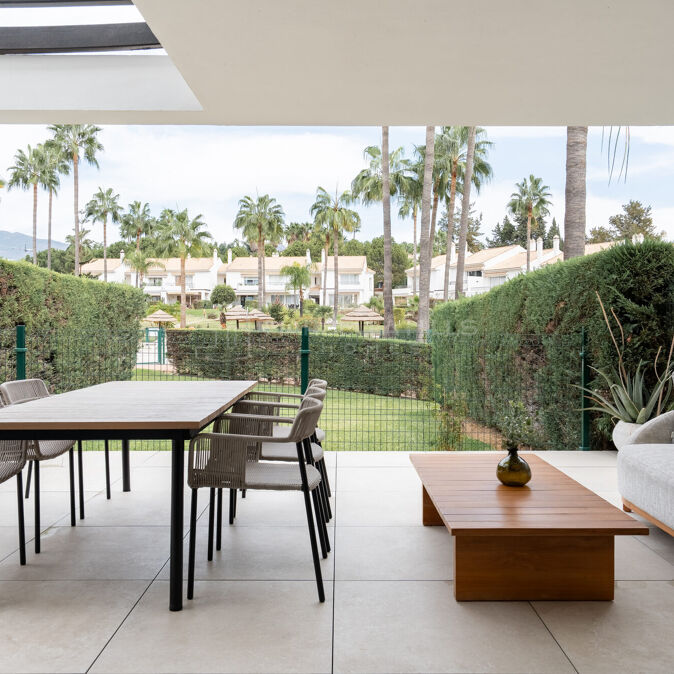
Renovated five bedroom villa with sea views in El Madroñal, Benahavís
El Madroñal, Benahavis €3,500,000A renovated five bedroom villa in El Madroñal, Benahavís, in the gated Gate 1 part of the urbanisation with 24-hour…
- View Property
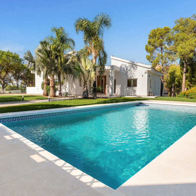
Brand-New Contemporary Villa for Sale in Monte Mayor, Benahavís
Monte Mayor, Benahavis €4,350,000This is a brand-new, completed contemporary villa set on a hilltop plot of 2,750 m² in the heart of Monte…
- View Property